


Long Island Braces for More Snow This Weekend Following Historic 30-Inch Blizzard
Long Island residents are preparing for another round of winter weather this weekend, just days after digging out from a historic blizzard that buried parts of the region under nearly 30 inches of snow.

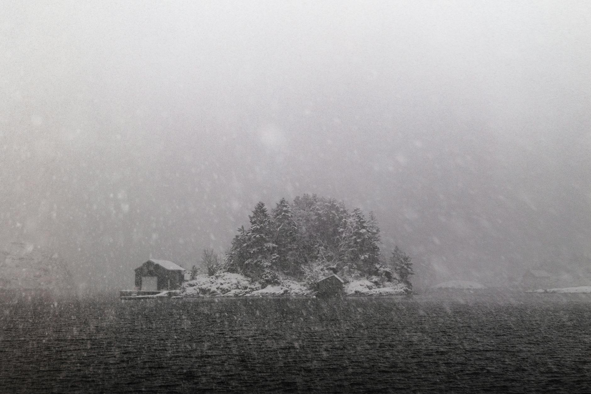
Long Island residents are preparing for another round of winter weather this weekend, just days after digging out from a historic blizzard that buried parts of the region under nearly 30 inches of snow.
The February 22-23 storm brought the area to a standstill, with some Long Island locations recording close to 30 inches of snowfall, according to weather data. As detailed in our previous coverage of the historic blizzard that dumped nearly 2 feet of snow across Queens and disrupted transportation, the blizzard marked the first major winter storm to hit the region in a decade, creating whiteout conditions with wind gusts reaching 35 mph.
Central Park recorded 19.7 inches during the storm, ranking it among the top five snowfalls in New York City history, while Staten Island saw up to 29 inches and Newark Airport measured 27.1 inches, according to meteorological records. The severe weather contributed to at least 13 fatalities across the Northeast, including six deaths in New York.
Cleanup efforts continue across Long Island as frigid temperatures in the teens and 20s have prevented significant melting, leaving streets icy and sidewalks hazardous for pedestrians. The prolonged cold snap has complicated snow removal operations throughout the region.
Current weather conditions show temperatures hovering around 31°F with clear skies and north winds at 4 mph, according to the latest forecasts. Air quality remains poor and unhealthy for sensitive groups, prompting health officials to recommend limiting outdoor time for those experiencing symptoms.
Today’s weather will bring sunny conditions with temperatures climbing to 41°F before dropping to 34°F tonight with partly cloudy skies and possible late fog, forecasters predict.
Friday’s outlook calls for morning fog giving way to mostly sunny skies, with highs reaching 49°F and lows near 33°F. No precipitation is expected during this brief respite from winter weather.
The pattern shifts dramatically by Sunday, March 1, when temperatures will drop to a high of 36°F with a 69% chance of light snow in the morning, according to meteorologists. The snow could leave a coating on the ground, creating potentially hazardous travel conditions.
Monday and Tuesday present continued chances for snow showers, with temperatures ranging from the mid-20s to mid-30s and light accumulations possible, weather services report.
A developing weather system could deliver snow from Sunday into early next week, though forecasters emphasize it will not match the intensity of last week’s historic storm. The system is expected to produce minor accumulations before potentially mixing with rain as temperatures fluctuate.
By mid-week, temperatures are forecast to rise into the 40s with risks of rain and drizzle, transitioning to milder conditions in the 50s by week’s end, according to extended forecasts.
Local officials continue urging residents to remain vigilant for slick spots caused by refreezing, particularly during overnight hours when temperatures drop. Property owners are reminded to clear sidewalks promptly to ensure pedestrian safety.
The NYC Department of Sanitation deployed over 2,200 plows during the recent blizzard response, with real-time tracking available through PlowNYC. Warming centers remained open throughout the cold snap to provide shelter for vulnerable residents.
Weather experts recommend that residents stay prepared for changing conditions and monitor forecasts closely as the weekend approaches. Those with respiratory issues should continue monitoring symptoms indoors due to persistent poor air quality conditions.
The recent blizzard serves as a stark reminder of winter’s potential impact on Long Island, where residents are now bracing for what could be another challenging period of snow and cold temperatures in the coming days.
Residents planning weekend activities should prepare for potential travel disruptions and ensure they have adequate supplies as the region faces the possibility of additional snow accumulation and continued frigid conditions.